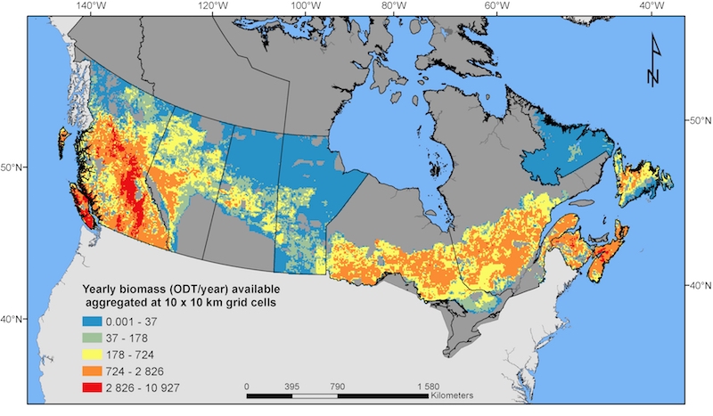
NRCan maps logging residue availability across Canada
November 21, 2018
By David Paré
Nov. 21, 2018 - A methodology was recently developed that uses satellite imagery to estimate availability of logging residue across Canada, and includes evaluation of imagery estimates with field data from a large number of plots.
Most current methods derive feedstock availability from recent cut blocks but the new method estimates availability from uncut mature forest (assuming that the average harvest rate, by area, for forest management units over the past 30 years will be maintained). This new method should therefore be more accurate because it is based on as-yet unharvested stands mapped at a fine-scale (250-m) spatial resolution using satellite imagery.
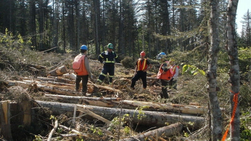
The harvest system (i.e. trees processed at roadside or at stump) was not considered because equipment and mode of harvesting can change frequently. Private forest land was also not considered.
Compared with other spatial models, the method tended to underestimate values in regions where partial cutting is frequent, or where biomass density is very high (such as parts of B.C.). Overall, the open-access maps produced with the new method can be useful for making a coarse-scale assessment of near-term regional logging residue biomass potential.
Find the map and open-access spatial data here.
David Paré is a research scientist with the Government of Canada, Natural Resources Canada, Canadian forest Service, Laurentian Forestry Centre.
Print this page